HISTORY
⟴Charleroi (Belgium), 2019
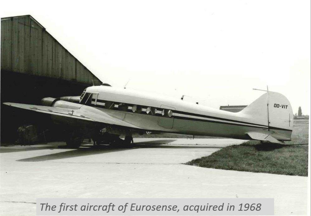
60s
Beginning
Eurosense was founded by ir. Emile Maes in 1964 with the vision to exhaustively map and accurately measure the earth from the sky, long before we all could access maps with a wide coverage and high resolution.
70s

In 1978, Eurosense has been the first company in Europe executing a
digital multispectral scanning using the Daedalus AADS 1240/1260,
acquiring spectral reflectance between ultraviolet and thermal infrared
wavelengths.
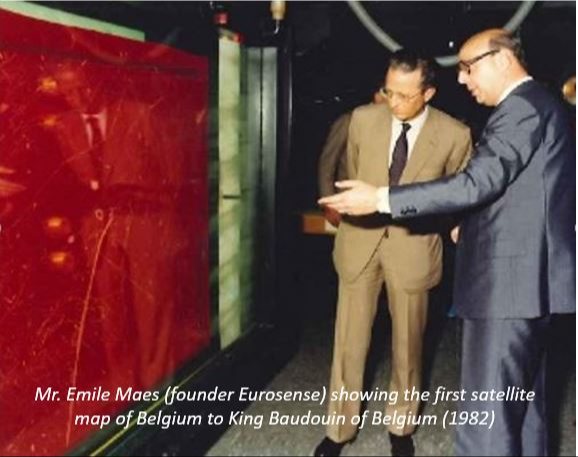
80s
The 80s were a decade with plenty of remote sensing activities.
Eurosense has been the first European company involved in digital
processing of satellite imagery (Landsat). The production the first
satellite map of Belgium led to a visit by the late king Baudouin of
Belgium. Besides, Eurosense has been the first company acquiring
multispectral images for the detection of oil pollution after the
accident of the oil tanker Katina in the Netherlands in 1982. The year
after, Eurosense used a SLAR (Side Looking Airborne Radar) and the
multispectral scanner for the detection of water pollution.
80s
, 1988")
Eurosense succeeds, for the first time at world level, in creating a
production system for the manufacture of digital (colour)orthophotos
(Eudicort®). First Colour Orthophoto for United States Geological Survey
(USGS) produced by Eurosense. In the early ’80s, Eurosense also begun
with its expansion to the Netherlands and Germany. Furthermore Eurosense
became the distributor for Belgium and Luxemburg of Esri software
(ArcGIS) in 1988.
90s
Eurosense starts as the first company in Belgium with aerial hypsometry
using a LiDAR scanner. Hereby elevation models of large areas in
Germany, France, Belgium and The Netherlands were realised by means with
high accuracy (10 cm) and -then- high point density (1 point/4 m²). In the 90s, Eurosense started (as the first company in Europe) with automatic colour aerial photography. High resolution (20cm) digital orthophoto’s were used for cadastral mapping. The 90s were also marked in the history of Eurosense as the decade of expansion to France, Hungary, Slovakia, Poland and Czech Republic.

00s
The early 2000s continued the expansion of Eurosense to Bulgaria and
Romania, both still engaging several experts in photogrammetry and
LiDAR. Eurosense expanded its product portfolio with three health
assessments and thermography projects. Since then, Eurosense combined
aerial photo interpretation with ground truthing for tree health
assessments for Belgian public authorities. For thermography campaigns,
Eurosense acquires images illustrating roof-top heat emission and thus
giving municipalities and homeowners an estimation about their rooftop
isolation. In 2009, Eurosense executed to date one of the largest
thermography campaigns covering the city of Antwerp and 20 surrounding
municipalities. By concurrently acquiring night images, Eurosense
launched its light mapping product, assessing the light emission, or the
lack thereof, in major cities helping public authorities to take safety
measures. Next to the new products, Eurosense scaled up with the
creating country-wide orthophotos for European countries such as for the
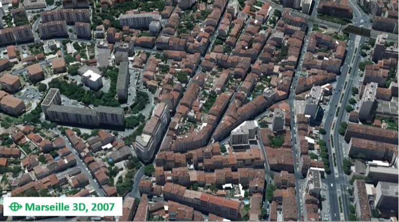
Netherlands. In 2007, Eurosense produced the first high resolution
(15cm) digital true orthophoto based on a 3D vector model of building:
this was for the City of Marseille (France). Also in the 00s, Eurosens
executed several World Bank projects, and created the first digital true
orthophoto based on a 3D vector model of buildings (in this case for
Budapest, Hungary).
10s

In the 2010s, Eurosense contributed to the majority of the digital
terrain models of Flanders (Digitaal Hoogtemodel Vlaanderen – DHV) and
the Netherlands (Actueel Hoogtebestand Nederland 3 – AHN3). Furthermore,
Eurosense augmented its portfolio with the production of 3D models.
Eurosense’s products were used for the Dutch telecom planning: Eurosense
delivered a comprehensive dataset including true orthophotos, building
footprints, land cover classification maps, and a digital terrain model
covering the entirety of the Netherlands. Besides, Eurosense co-founded
the European Association of Aerial Surveying Industries (EAASI), where
Eurosense’s CEO André Jadot is since then holding the vice-presidency.
20s
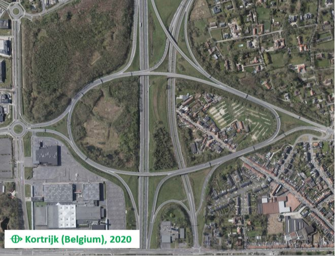
Eurosense is confidently pursuing to continue its track record of exhaustively mapping and accurately measuring the earth from the sky. The combination of the knowledge and experience of our experts, state-of-the-art sensors and powerful workstations allow us the creation of excellently detailed aerial images, measurements and derived products. With the recent developments in AI and deep learning, new value-added products are being developed. Eurosense’s geodata contribute, more than ever, to your better decisions!
CONTACT US IF YOU HAVE ANY QUESTIONS
We are happy to help you!